It looks like nothing was found at this location. Maybe try one of the links below or a search?
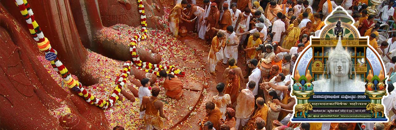
Bahubali Mahamasthakabhisheka Mahotsava – 2018
Most Updated Website on the Mega Event
Bahubali Mahamasthakabhisheka Mahotsava – 2018
Most Updated Website on the Mega Event
It looks like nothing was found at this location. Maybe try one of the links below or a search?